
Security
Countering drones at airports: what technology options are out there?
A recent spate of incidents involving drones at airports in the UK, the US and the UAE has focused public and media attention on the threat they pose to critical airspace. Julian Turner talks to Adam Lisberg of Chinese company DJI about advancements in drone detection systems.
How dangerous are drones to commercial airports and aircraft, and are current UAV mitigation and countermeasure technologies fit for purpose when it comes to identifying and nullifying the threat?
The subject was brought into sharp relief this past December when two unauthorised drones sighted near London’s Gatwick Airport forced the authorities there to ground aircraft for 36 hours, resulting in misery for more than 140,000 commercial and business passengers, and costing the airport’s partners and stakeholders an estimated £50m – with Gatwick itself on the hook for £15m.
Transport secretary Chris Grayling described it as ‘a new kind of attack’, the RAF were deployed and Gatwick spent £5m to prevent future attacks, but three months on, theories continue to abound as to who was responsible, with one report claiming it was an inside job by a disgruntled employee.
One thing most people can agree on is that the incident proved that flying a drone in commercial airspace can have repercussions way beyond the actual physical threat posed by the UAV itself.
As Adam Lisberg, head policy spokesman at market-leading Chinese technology company DJI, points out, trying to crash a drone into the engine or windshield of a plane taking off or landing would be “like trying to hit a bullet with a bullet”.
“But at this point, it is important to note that based on all available evidence, the Gatwick incident remains nothing more than unverified and unconfirmed reports,” Lisberg adds.
“While airports need to develop protocols for responding to reports of drone sightings, they need to remain aware that many reports turn out to be bogus … and no one wants to shut down an airport because well-meaning people see a balloon and fall prey to the power of suggestion.”
However, that is not to say that operators that flout rules by flying near or in restricted airspace – flights have since been delayed or halted at Heathrow, Newark, Dubai and Dublin due to drone sightings – do not pose a threat, and technologies designed to track them must evolve in response.
“We believe that the most obvious risk to aviation is a drone pilot who is simply unaware of where they are not supposed to be when flying near critical airspace,” Lisberg says. “There are also cases where a low-flying plane or helicopter can come into conflict with a drone that is being operated perfectly legally below the 400ft ceiling.
“Drones are required to be registered now in many jurisdictions, but unlike a car you can’t get close enough see the licence plate and you don’t know anything about the driver, so it is very difficult to assess the intention of the drone operator.”
Caption.
Image courtesy of
Staying grounded: drone regulations in the UK and US
Figures from the UK Civil Aviation Authority show that the number of operators with permission to commercially fly drones rose to 4,530 in 2018, a more than three-fold increase compared with 2016.
The growth in drone use has coincided with an increase in the rate of near misses between drones and aircraft in the UK, which have tripled since 2015. The UK Airprox Board (UKAB) reported there were 92 near misses involving commercial aircraft in 2017, compared with 29 just two years earlier.
It is illegal to fly a drone higher than 400ft or in restricted airspace, such as near an airport (further restrictions apply if the drone is fitted with a camera). It is also against the law to operate drones within 1km of an airport boundary. They must remain in line of sight and within 500m of the pilot, and must not fly within 150m of crowds and built-up areas, or within 50m of a building or person.
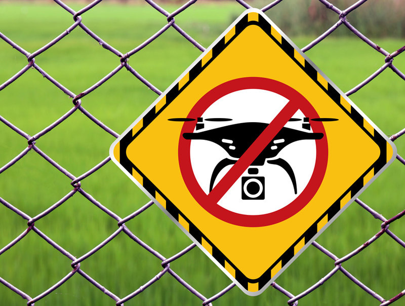
Image courtesy of
In the US, around 1.3 million drones are registered with the Federal Aviation Administration (FAA), with only a small percentage operated for commercial purposes by FAA-certified remote pilots.
A recent study by Embry-Riddle Aeronautical University showed that 7% of drone flights tracked around Daytona Beach International Airport over a two-week period exceeded 400ft, and 21% exceeded the recommended maximum altitude for the area in which they were operating.
In one case, a drone was detected at an altitude of 90ft within a quarter mile of the approach path to an active runway. In total, eight drones were detected within a mile of the centre of the airport.
A low-flying plane or helicopter can come into conflict with a drone that is being operated perfectly legally below the 400ft ceiling

Geo-fencing technology: the DJI AeroScope system explained
In response, companies such as DJI are employing ‘geo-fencing’, whereby software uses the global positioning system (GPS) or radio frequency identification (RFID) to define geographical boundaries.
DJI AeroScope works by decoding information contained in the communications stream between the DJI drone and the mobile AeroScope system, and then displays that telemetry and drone data on the screen. The drone’s flight path only appears on-screen when it is powered on or airborne.
“One version of the AeroScope receiver that is the size of a small suitcase and we also have a fixed version with antennas mounted on a pole that signals across a much wider range, up to ten miles,” says Lisberg. “It picks up those signals, processes them and displays them on an on-screen map.
“If you are protecting an airport or a prison or a special event, the system will emit an audible tone announcing that it has spotted a drone and you can immediately see where both the drone and the operator are located.”
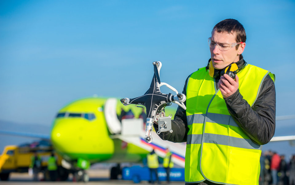
Image courtesy of
The company has geo-fenced airports in the UK, US and elsewhere for years. The boundaries of the airports are clearly displayed and drones will not fly in the most critical areas – such as the runways themselves – unless the pilots receive special permission from DJI to unlock them.
“Theoretically, a hacker could try to break into the AeroScope system, but we are unaware of anyone having done so,” says Lisberg. “If you are dealing with that level of malicious operator, that then becomes a serious law enforcement issue.”
DJI also manufactures its own drones, and was the first company to develop smart batteries that can tell when they are about to reach a critically low power level.
“Our drones automatically fly home if the battery fails and you lose connection to the controller, even when they are in a programmed flight mode comprising specific waypoints and automated routes,” says Lisberg.

DJI AeroScope works by decoding information contained in the communications stream between the DJI drone and the mobile AeroScope system
Remote possibilities: upgrades and the global anti-drone market
DJI believes that other remote ID solutions, such as putting new microchips in drones or tracking drones via smartphones, will inevitably involve an extra cost to the user, as well as constituting a power drain on the batteries and increasing the weight of drones.
Most importantly, however, making drone operators report position and location information to a centralised network database, as opposed to a nearby receiver such as the AeroScope system, has implications around privacy and data protection, and will make operators less likely to comply.
“If you are a drone pilot who is not doing anything wrong – not flying in restricted or complex airspace – or, for example, you don’t need a government waiver since you aren’t close to an airport, why should your personal flight information be kept permanently in a database?” says Lisberg.
DJI recently updated its geo-fencing technology in 32 European countries as it fights for supremacy in an increasingly competitive anti-drone market projected to be worth nearly $2.3bn by 2024.
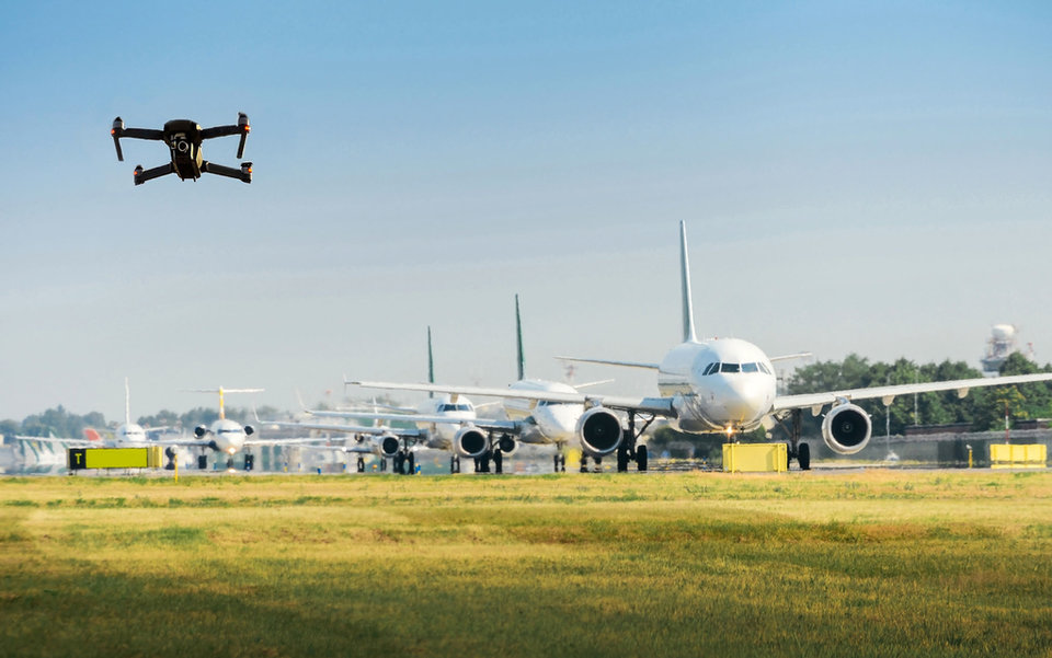
Image courtesy of
The company’s Geospatial Environment Online (GEO) 2.0 system creates detailed three-dimensional “bow tie” safety zones surrounding runway flight paths and uses complex polygon shapes around other sensitive facilities to better reflect the safety risk.
GEO 2.0 is also more flexible in lower-risk areas – for example by permitting authorised users to conduct drone activities in locations parallel to runways – and will include Temporary Flight Restrictions (TFRs) imposed during major events or natural disasters based on Eurocontrol data.
By keeping pace with increased drone use, rapid advancements in drone technology and evolving legislation around their use, leading-edge countermeasure solutions such as these aim to keep critical airspace and infrastructure safe, and incidents such as the one at Gatwick to a minimum.
In the US, around 1.3 million drones are registered with the Federal Aviation Administration
Share


